Water Monitoring Map FAQ
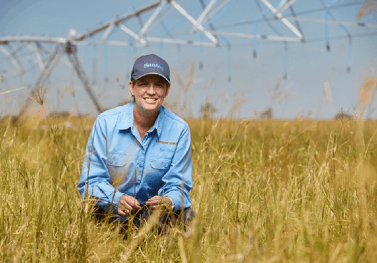
This portal allows community members and landholders access to results of Santos’ water monitoring across our operations in the Surat and Bowen Basins in Queensland and Gunnedah Basin in New South Wales.
Users can access key water quality results and water bore levels and information on our water monitoring program.
The Water Monitoring Map will be updated on a quarterly basis.
The map shows locations where Santos regularly monitors surface water and groundwater.
- Groundwater Level Monitoring: Santos has installed groundwater pressure gauges to detect the pressure within specific aquifers and a range of depths and locations. Data loggers record groundwater pressure from which a groundwater level can then be derived. Our groundwater level monitoring network also includes private water bores where Santos has agreements with landholders. The recorded bore water level is made available to the landholder who can view incoming live data via a secure web application.
- Surface Water Monitoring: Santos takes water quality samples from perennial and ephemeral streams, and springs as part of its surface water monitoring program. Santos has also installed automatic sampling devices in some perennial streams which take more samples when stream heights rise due to rainfall. Therefore samples are taken at a higher frequency during the wet season.
- Groundwater Quality Monitoring: Santos takes water quality measurements from a selection of groundwater bores across its coal seam gas fields. This typically comprises purpose-built water monitoring bores which Santos has drilled as part of the groundwater monitoring program. Groundwater quality samples are taken from Santos water bores at least every quarter.
A perennial stream flows year-round, whereas an ephemeral stream flows only after sufficient rainfall events. Ephemeral streams typically have higher variability in water quality between measurements due to their intermittent flow.
These parameters are principal indicators of water quality that help identify the suitability of the water for use in a range of purposes.
Santos has undertaken a baseline assessment of more than 1000 bores across our Roma, Fairview, Scotia and Arcadia tenements in Queensland and approximately 300 bores across our Gunnedah and Narrabri tenements in New South Wales.
This data is used to establish the extent of groundwater extraction from aquifers in the regions in which we intend to operate, well in advance of natural gas extraction activity. The locations of water bores which have been visited as part of our baseline assessment are indicated on the portal.
Water levels can be expected to vary seasonally by 0.5 to 5 metres. Between years, natural variations in water level between 1 and 10 metres are not uncommon, depending on the nature of the aquifer.
The map layers and labels have been set to appear at different map scales. As you zoom in to the map more detailed information will appear, such as towns and roads. As well, you can turn on additional layers by selecting the layer tick box in the legend and view aerial photography by clicking on the ‘Aerial’ button on the top-right corner of the map.
Santos has also installed automatic sampling devices in some perennial streams which take more samples when stream heights rise due to heavy runoff, therefore samples are taken at a higher frequency from some streams during the wet season.
The Surat Cumulative Management Area was declared under the Water Act 2000 to aid in the assessment and management of overlapping underground water impacts from multiple petroleum tenures, on which activities such as coal seam gas operate. The Queensland Government Office and Groundwater Impact Assessment (OGIA) is responsible for assessing the impacts and establishing management arrangements in this area.
The Queensland Water Commission (now the Office of Groundwater Impact Assessment) prepared an Underground Water Impact Report (UWIR) in 2012. This report assesses the impacts of water extraction by petroleum tenure holders on underground water in the Surat Cumulative Management Area. It uses a regional groundwater flow model to predict the potential impact of coal seam water extraction by petroleum and gas activities on groundwater resources, inclusive of landholder water bores.
An Immediately Affected Area (IAA) for a particular aquifer is the area in which the predicted water pressure change in that aquifer is predicted to exceed five metres within the next three years due to CSG development activities.
The report and factsheet can be found in the Water Portal Resources Library on the Water Portal.
The Queensland Water Commission (now the Office of Groundwater Impact Assessment) prepared an Underground Water Impact Report (UWIR) in 2012. This report assesses the impacts of water extraction by petroleum tenure holders on underground water in the Surat Cumulative Management Area. It uses a regional groundwater flow model to predict the potential impact of coal seam water extraction by petroleum and gas activities on groundwater resources, inclusive of landholder water bores.
A Long-term Affected Area (IAA) for a particular aquifer is the area in which the predicted water pressure change in that aquifer is predicted to exceed five metres at some point in the future due to CSG development activities.
The report and factsheet can be found in the Water Portal Resources Library on the Water Portal.
The Queensland Water Commission (now the Office of Groundwater Impact Assessment) prepared an Underground Water Impact Report (UWIR) in 2012. This report assesses the impacts of water extraction by petroleum tenure holders on underground water in the Surat Cumulative Management Area. It uses a regional groundwater flow model to predict the potential impact of coal seam water extraction by petroleum and gas activities on groundwater resources, inclusive of landholder water bores.
An Immediately or Long-term Affected Bore is a bore in which the predicted water pressure change in that bore is predicted to exceed five metres at some point in the next three years, or at any point in the future, respectively, due to CSG development activities.
Where a bore water level is predicted to be impacted by more than five metres within the next 3 years, Santos must undertake a bore assessment and enter into a make good agreement with a potentially affected bore owner to ensure that they are not disadvantaged by a petroleum operation.
The report and factsheet can be found in the Water Portal Resources Library on the Water Portal.
You can read more about Make Good Obligations in this Queensland Government factsheet.
General FAQ
Santos measures a comprehensive list of parameters, specific to the suitability of the water for drinking, irrigation, reinjection or other purposes. The key water quality indicators are presented on the portal.
Depending on the local geology, water bores are typically drilled to a depth of 20 – 400 metres to access suitable water resource aquifers. Coal seam gas wells are typically drilled to a depth of 500-1,200 meters to access target coal seams.
Surface water quality can change throughout the year in response to periods of heavy rain and during dry periods. In heavy rain, sediment runoff can wash into rivers and streams and therefore influence the water quality. In addition there can be salt from soil flushed into local streams at this time. In dry periods, reduced runoff in surface water causes the presence of groundwater to be more pronounced in rivers and streams. Groundwater quality tends to be relatively stable throughout the seasons.
Please send us an email info@santos.com, call 1800 761 113 or submit a contact form enquiry.
More information about Santos’ water monitoring program and strategy can be found through the Water Resource Library link.

Please send us an email info@santos.com, call 1800 761 113 or submit a contact form enquiry.

Santos now provides the revised Water Quality Guidelines as a comparative guideline for your bore results.